0 ratings

Item #:
90282468
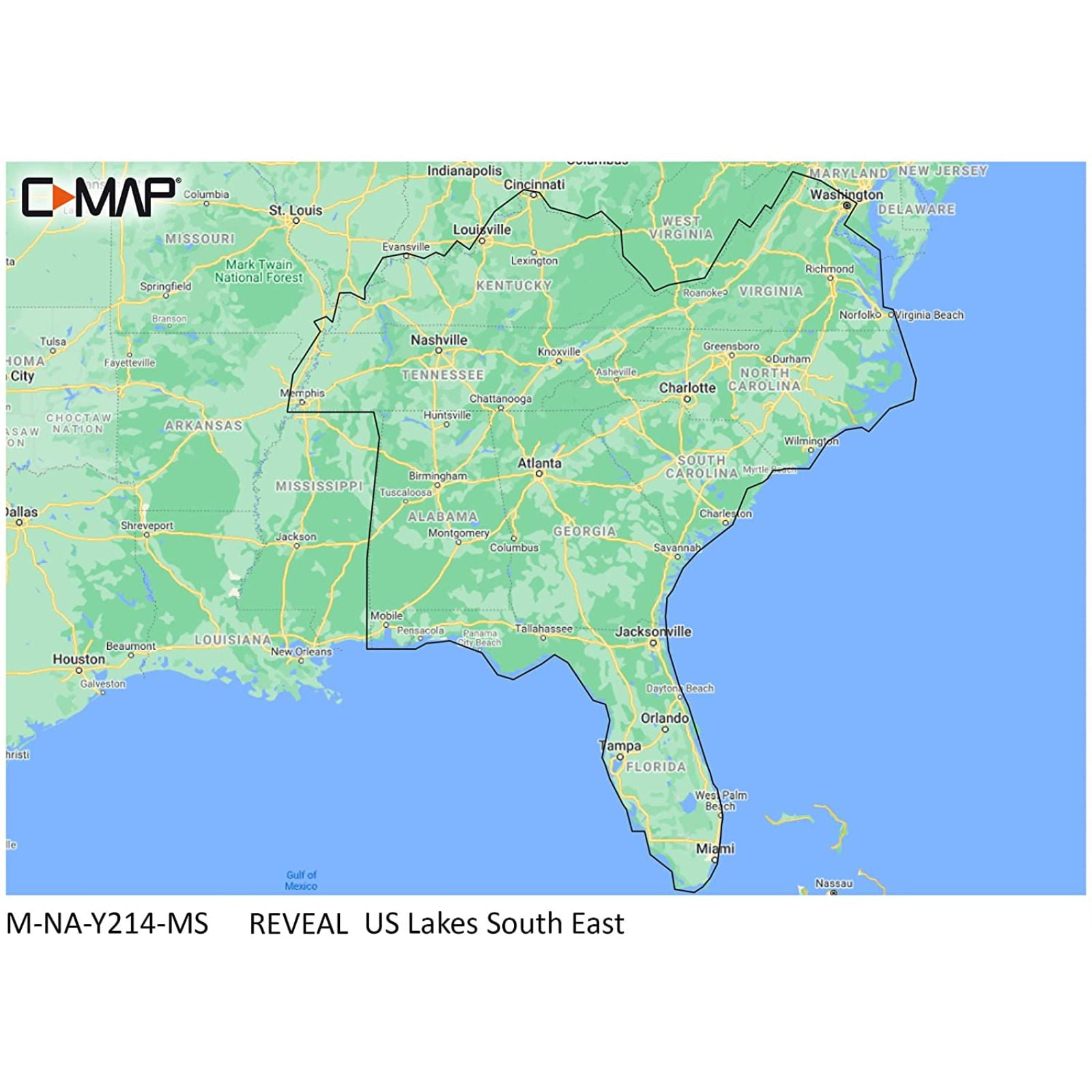
C-MAP Reveal US Lakes South East
Item #:
90282468
NZD 406
Price Details
Excluding Shipping & Custom charges ( Shipping and custom charges will be calculated on checkout )
*All items will import from US
0 ratings
Write a review
In stock
QTY:
Order now and get it around Thursday, July 09
Secured transaction
Ubuy works hard to protect your security and privacy. Our advanced payment security system ensures confidentiality by encrypting your information during transmission using AES (Advanced Encryption Standards) and SSL (Secure Socket Layer) protocols. Your payment details are 100% secure as we do not share your payment details with third party sellers.
Our Top Logistics Partners
C-MAP REVEAL Lakes charts offer the very best of C-MAP.
Fast
Shipping
Free
Return*
Secure Packaging
100% Original Products
PCI DSS Compliance

ISO 27001 Certified
Note: Step Down Voltage Transformer required for using electronics products of US store (110-120). Recommended power converters Buy Now.


What Stands Out
Detailed Mapping
Offers comprehensive underwater detail and contour maps for clearer navigation, ensuring boaters have an accurate view of the lake's topography for safer and more enjoyable outings.
User-Friendly Interface
Designed for easy access and navigation, making it accessible for users of all experience levels, enabling quick learning and efficient use during fishing or recreational activities.
Up-to-Date Data
Regular updates provide the latest mapping information and features, addressing user needs for accuracy and reliability, keeping users informed and confident while navigating unfamiliar waters.
Product Details
| Map type | Lake Charts |
| Subject | US Lakes South East |
| Features | Water-Resistant |
| Size | South East |
| Brand | C-MAP |
| Material | Plastic |
| Form | Books |
| Year | 2021 |
| Edition | Standard Edition |
| Color | Black |
| Pieces | 1 |
| Age group | Adult, Teen |
| Item Weight | 0.6 lbs (270 grams) |
Who Should Buy?

-
Boating Enthusiasts
Ideal for recreational boaters seeking detailed lake maps and data for navigation and fishing purposes.
-
Fishing Professionals
Offers essential insights for anglers looking to locate hotspots, depths, and underwater structures effectively.
-
Outdoor Explorers
Perfect for outdoor adventurers who require detailed cartography to enhance their hiking and camping experiences.

-
Casual Users
Not suitable for users who need basic maps without advanced features or detailed topography.
-
Non-Aquatic Activities
Those primarily interested in land navigation or urban exploration may find this product unnecessary.
-
Budget-Conscious Buyers
Individuals looking for low-cost alternatives may find the investment in this detailed mapping too high.
Product Description
C-MAP Reveal US Lakes South East
Have any Query? Chat with us
Customer Questions & Answers
-
Question:
Is this compatible with my existing chart plotter?
Answer: Yes, it is compatible with Lowrance, Simrad, and B&G Chart Plotters. -
Question:
What additional features do C-MAP REVEAL Lakes charts provide?
Answer: They offer Shaded Relief, Aerial Photography, Satellite Overlay, Tides & Currents, and easy routing. -
Question:
What type of data is included in the high-resolution Bathymetry?
Answer: It includes integrated Genesis data for detailed depth information.
C-MAP Editorial Review
No editorial reviews found
Customer Reviews & Ratings
1 customers ratings
-
5 Star
100%
-
4 Star
0%
-
3 Star
0%
-
2 Star
0%
-
1 Star
0%
Review this product
Share your thoughts with other customers
Pros
- Detailed lake maps
- User-friendly interface
- Regular updates available
- Great for fishing trips
- Compatible with various devices
Cons
- Some features may require learning.
Product Price History
Important information
- Limitations : For products shipped internationally, please note that any manufacturer warranty may not be valid; manufacturer service options may not be available; product manuals, instructions, and safety warnings may not be in destination country languages; the products (and accompanying materials) may not be designed in accordance with destination country standards, specifications, and labeling requirements; and the products may not conform to destination country voltage and other electrical standards (requiring use of an adapter or converter if appropriate). The recipient is responsible for assuring that the product can be lawfully imported to the destination country. When ordering from Ubuy or its affiliates, the recipient is the importer of record and must comply with all laws and regulations of the destination country.
- Not all the products listed on Ubuy are for sale, as Ubuy is a global search engine. Products are subject to export/trade regulations.
NZD 406
Order now and get it around Thursday, July 09
This item is not restrict in my country.(Please click on above link if this item is not restrict in your country, So our team will review and allow.)
QTY:
Secured transaction
Ubuy works hard to protect your security and privacy. Our advanced payment security system ensures confidentiality by encrypting your information during transmission using AES (Advanced Encryption Standards) and SSL (Secure Socket Layer) protocols. Your payment details are 100% secure as we do not share your payment details with third party sellers.
Our Top Logistics Partners
Fastest cross-border delivery
Features & Benefits
- Compatible with Lowrance, Simrad, and B&G Chart Plotters.
- Features Shaded Relief, Aerial Photography, and Satellite Overlay.
- Includes full-featured Vector Charts and Custom Depth Shading.
- Offers Tides & Currents information for better navigation.
- Utilizes high-resolution Bathymetry, with integrated Genesis data.
- Enhances your charting experience with easy routing capabilities.